I do quite a few routes like the Mont Chauffé arête, usually travelling light with my trail-running gear. Sometimes that means running; sometimes it means walking and scrambling. I couldn't find much clear information about the Arête du Mont Chauffé before going, so I'm writing up the trip with photos and a route map to give the next person a better idea of what to expect.
Explore the route and elevation profile
Open the map to load the route.
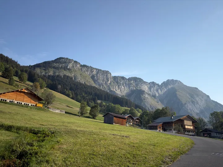
The first half of my traverse of the Arête du Mont Chauffé was fairly straightforward. The second half involved much more scrambling and route-finding, with some exposed sections. The information I'd found beforehand hadn't made that distinction very clear.
OpenStreetMap showed an alpine walking route, which I took to suggest something around T5. That seemed plausible for the first half. The later sections felt considerably more technical. I'd put the climbing around grade II, but the challenge is that where it reaches that grade, it's also very exposed. That's my impression of the difficulty, rather than a formal route assessment.
Finding the ridge
From the Le Sauvage car park above Abondance, I followed a broad gravel road uphill towards the refuge d'Ubine. The turn towards the ridge was easy to miss: a small path beside a meadow, leading into the woods. The larger road towards the refuge was the more obvious continuation.
After turning off, I had to look around for the way onto the ridge. I probably went slightly wrong here already.
Staying on the crest
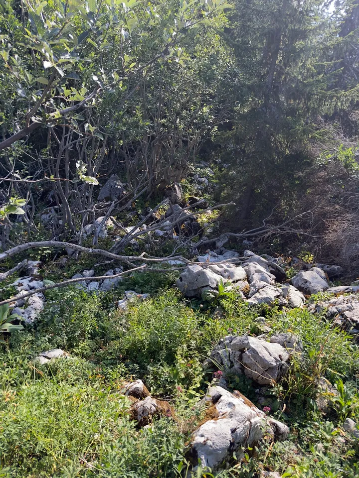
Small paths kept leading away from the crest. Some might have been animal tracks; others could have been worn by rain and erosion. I followed a few and made several wrong turns along the way. Each time, I came to the same conclusion: I should have stayed on the ridge.
If you're going to do this traverse, that should be your mantra: stay on the ridge.
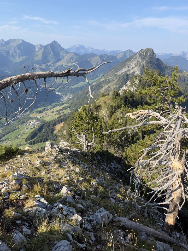
The early part went easily enough. Further along, scrambling sections alternated with wider stretches where there was an ordinary walking path again.
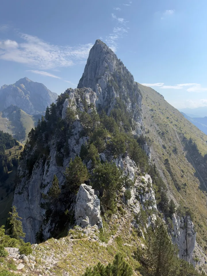
The Pas du Chien
The hardest section for me was the Pas du Chien. It began with a steep downclimb beside a steel cable that looked rather flimsy. I didn't really trust it and didn't really use it on the downclimb. It seemed to offer a false sense of security. The downclimb felt manageable if you took it slowly, but it was no place to fall.
Before climbing down, I looked at the wall on the other side and wondered how on earth I was going to get up it. From below, it looked much more manageable. I moved a little to the right and climbed towards a tree, using clear holds. There was a substantial drop, especially to the right. That part felt committed.
Then I went wrong (because I didn't stay on the crest, again). The logical line was to follow the crest, but I was tempted by a path heading off to the right. In hindsight, it was probably an animal track. I looked for a way back and eventually climbed up a rocky face to regain the crest, without a clear track to follow.
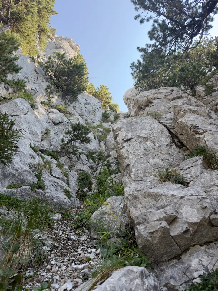
One more wrong turn
Beyond the Pas du Chien, the scrambling continued, though it was significantly easier. At one point I noticed a rope leading down off the right side of the ridge, and a faint path to the left that ran a little below the crest. The rope led towards a descent. I started down that way by mistake and ended up having to climb back onto the ridge.
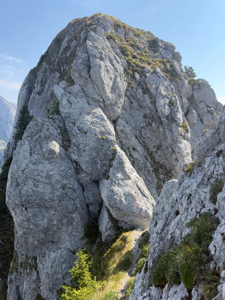
I didn't continue down that descent. I went on to the summit and descended on the other side of Mont Chauffé.
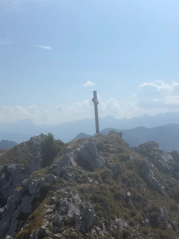
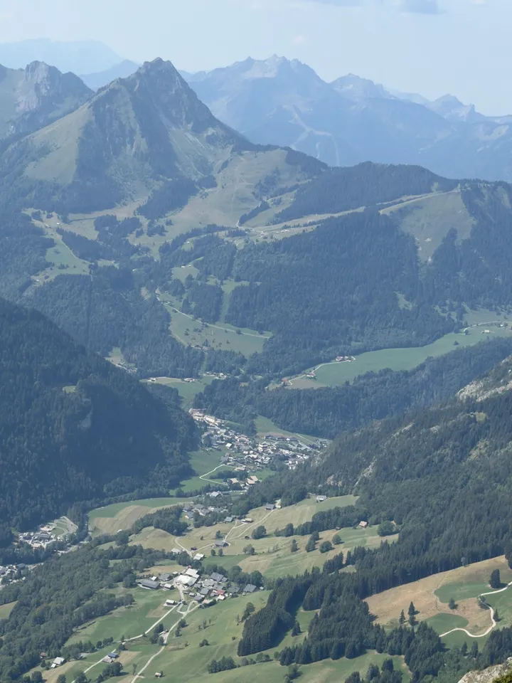
I really enjoyed this traverse and would recommend it if you're comfortable with exposed scrambling. It would make a good day out with friends, taking your time along the ridge. The Pas du Chien is the crux: a belay there can make sense for someone who wants the extra security. Whether to go without one depends on your experience and comfort with the exposure, as well as being sure-footed.
It's a relatively quiet route, so you may well have stretches of the ridge to yourselves. Mont Chauffé stands apart from the surrounding peaks, and its long ridge gives you beautiful views across the Chablais. Plenty of reason to take it slowly, even when the terrain doesn't make you.